Community
Copernicus Space Component Missions and Data Management
The European Space Agency (ESA) plays a crucial role in the Copernicus Space Component (CSC), being responsible for CSC data management and operations for Sentinels 1,2,3-land and 5P. ESA ensures the seamless functioning, evolution, and continuous improvement of the Copernicus Sentinel missions, which form the backbone of the European Union’s Earth observation programmes.
As part of its responsibilities, ESA oversees the planning, procurement, deployment, and operation of CSC data management and operations services. This includes managing data acquisition, processing, archiving, and dissemination to meet the growing demands of Copernicus users worldwide. ESA is committed to maintaining high operational performance while addressing evolving technical and financial challenges.
The CSC data management and operations systems follow a service-based architecture, designed to ensure scalability, adaptability, and resilience. CSC was one of the key programmes to begin to define the Earth Operations Framework (EOF), which defines the operational principles and guidelines governing data management and operations services.
Through this approach, ESA ensures the efficient delivery of Copernicus data while fostering flexibility, transparency, and competitiveness. Since 2019, ESA has led the transformation of CSC data management and operations services towards cloud-based operations, enabling greater scalability and efficiency in response to increasing data demands and the expansion of the Copernicus Sentinel missions.
This modernization ensures that the Copernicus programme remains at the forefront of Earth observation, supporting European and global environmental and security policies. Through its leadership in CSC data management and operations services, ESA guarantees the long-term success of Copernicus, ensuring continuous access to high-quality Earth observation data for users across Europe and beyond.

Copernicus Contributing Missions
The Copernicus Contributing Missions (CCMs) complement the Sentinel satellites by providing additional high-resolution and specialised Earth observation data. Operated by European, national, and commercial partners, they support key Copernicus services such as land monitoring, emergency response, marine surveillance, and climate tracking.
These missions deliver:
- Very High Resolution optical and radar imagery
- All-weather SAR data
- Digital Elevation Models
- Specialised observations like thermal, hyperspectral, and atmospheric data
ESA also collaborates with innovative European “New Space” companies, expanding Copernicus’s capabilities with cutting-edge commercial satellite data.
Together, CCMs and Sentinels form a powerful system to monitor our planet and support environmental and security decision-making across Europe and beyond.
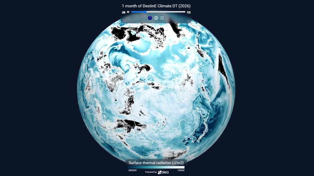
DestinE Platform
ESA contributes to the Destination Earth (DestinE) programme by being responsible for the DestinE Platform, which serves as the main entry point to DestinE. It provides users, applications, and service providers with direct access to the data and functionalities of the Digital Twin Engine and the Data Lake.
Designed based on the ESA Earth Operations Framework (EOF) principles, the DestinE Platform follows a service-oriented, scalable, and flexible architecture. It integrates and operates an open ecosystem of services (the DestinE Platform Framework) to support data exploitation and information sharing for the benefit of DestinE users and third-party entities.
The platform includes key essential services such as user management, orchestration, data access and retrieval (particularly from the EUMETSAT-operated Data Lake) for local data exploitation and 2D/3D data visualization. Additionally, it supports external service integration, ensuring a flexible, scalable, and adaptable ecosystem.
The DestinE ecosystem is designed to meet the needs of a diverse user community, including citizens, scientists, businesses, and policymakers. The DestinE Platform Framework defines the conditions for integrating new services, allowing access to shared resources and engagement with the entire DestinE user base. By applying EOF principles, ESA ensures the DestinE Platform maintains operational efficiency, transparency, and adaptability, fostering collaboration and innovation in digital Earth system simulations.

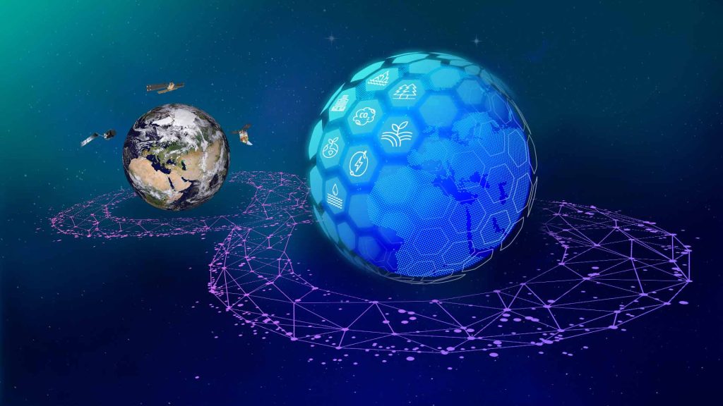
ESA Digital Twin Earth
ESA has become a leader in Earth Observation (EO) data through its Earth Explorers and Sentinel missions.
This data powers innovative products, applications, and research, enhancing our understanding of Earth’s ecosystems.
The ESA Digital Twin Earth (DTE) Programme is transforming EO technology by integrating advanced satellite data into virtual models of real-world systems.
These digital twins enable accurate monitoring and prediction of environmental changes, supporting applications like climate monitoring and urban planning.
By supporting initiatives like Destination Earth, the ESA DTE Programme leverages innovative EO data to address global challenges and drive sustainability.
Utilizing DestinE’s platform and data services, the two programmes collaborate to complement each other, avoid duplication, and maximize impact. As an operational program, DestinE may integrate ESA DTE’s advanced digital twin components in the future, enhancing capabilities and fostering innovation for a sustainable future.
ESA EO Science Missions
The European Space Agency (ESA) is responsible for preparing the operations and subsequently operating at the required level of performances the ESA Earth Explorer and the Heritage missions in line with scientific and programmatic requirements and adopting the most suitable technical, operational and management approach to maximise scientific impact for a wide user community. This includes overseeing data acquisition, processing, archiving, and dissemination as well as providing virtual collaborative environments for Earth Observation science experts to boost scientific developments. Similarly, ESA supports the development and operational activities for the Ground Segments of the Earth Watch and Scout missions and, in the context of R&D activities, manages authorised access to selected Third Party missions datasets. All these missions—Earth Explorer, Heritage, Earth Watch, Scout, and Third Party—are collectively referred to as EO Science missions, reflecting their strong R&D focus.
The former ESA and TPM Ground Segment is currently evolving from a mission-driven vertical architecture towards the adoption of the ESA Earth Observation Framework, to ensure the necessary operational flexibility, scalability, security and robustness while providing all required data, tools and services to the EO science community.
This evolution will allow to face the growing complexity of “new” EO Science missions while increasing cost effectiveness, improving users experience and boosting EO science data advancements and usage.